The purpose of this website is to provide a site for a set of training resources for
SAGA-GIS focused on remote sensing and terrain analysis applications. This site is designed as a series of practical step-by-step screen shot and video tutorials with practical examples showing some key processing features. Download links for data used in each section are also provided. This site has been developed as a collaboration between three universities in Eastern Indonesia and Australia…read more. You will find more about how to use this site here.
Download PDF training manual here: SAGA_MANUAL_ENGLISH_CDU_June-2017
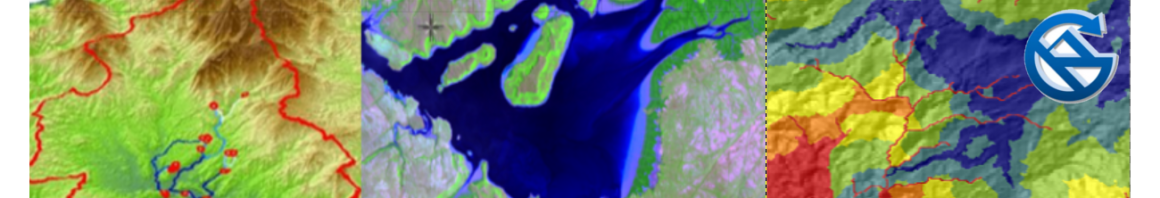
Working with Satellite imagery
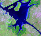 The import function in the free open source SAGA-GIS software supports a range of sophisticated satellite image visualisation and analysis processes. Tutorials explore accessing free satellite data, visualising Landsat and Sentinel 2 imagery, classification processes and land cover change mapping.
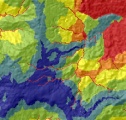
Terrain Analysis & 3D Visualisation
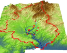
SAGA GIS excels at terrain and hydrological analysis with dozens of modules for supporting sophisticated modelling. Tutorials here show how to create 3D visualisations, map catchments, conduct terrain analysis and model hydrological flow paths.
Data Import and Export

SAGA is able to import and export to a variety of formats. This section shows how to; export SAGA maps and analysis, import data from field notes or a GPS, export to Google earth and to PDF-Maps a premier field data collection tool for smart phones.
Application examples
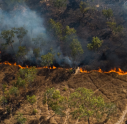
A number of example applications are shown here combining satellite image classification with terrain modelling and statistical outputs. These include modeling sediment flow from a mine site area and monitoring fires.
Advanced Topics
This section includes additional tools and processes including travel time analysis and the development of SAGA tool chains.
Travel time analysis can be very useful for assessing health care access and disaster risk mitigation. Tool chains, similar to Arc model builder, allows combining multiple tools to automate complex processes.
Downloads
![]()
Access SAGA GIS software downloads here.
Provided also are all the satellite, elevation and vector data used in the tutorial examples featured on this site.
Open the Indonesian language version of this site here: sagagisindonesia.wordpress.com/
, , , , and (2017) Free satellite imagery and digital elevation model analyses enabling natural resource management in the developing world: case studies from Eastern Indonesia. Singapore Journal of Tropical Geography, doi: 10.1111/sjtg.12210.


I will like to attend training.
LikeLike
Where do you live?
LikeLike
Any tutorials on how to install libraries (e.g. liblas) on windows PCs? Thanks
LikeLike